About Maryland Maps
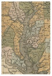
T he Maryland Map Collection is a comprehensive collection of more than 2,500 map titles depicting Maryland, the Chesapeake Bay, and the surrounding region. Search and browse the collection using the search box and links on the right side of the homepage. Selected maps have been digitized for this web database. Some maps in the collection are also described on the library's online catalog.
The collection includes such noteworthy maps as the first map to depict the Chesapeake Bay, published in 1590 as a result of Sir Walter Raleigh's expedition. Other highlights include John Ogilby's 1671 Nova Terrae-Maria Tabulae, the earliest map that shows the counties of Maryland, and Dennis Griffith's 1795 landmark map of Maryland, the most detailed and accurate map of its time. One of the most spectacular maps in the collection is the Bird’s Eye View of Baltimore published by Sachse in 1869, measuring approximately 12 feet in length by 6 feet in height.
In addition, the Department holds an extensive collection of Sanborn Fire Insurance maps including both the original and microfilm copies. These highly detailed maps, published during the period of 1870 to 1950, show every structure in the central portion of many cities and towns throughout the state. Maps produced by local governments can be found here, and the collection supports the study of Maryland's border disputes and document the development of the state.
Relevant Links