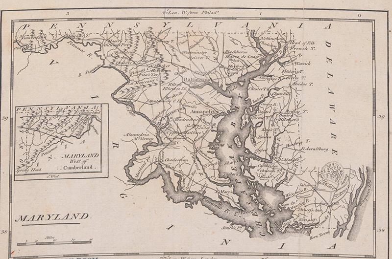
Maryland Map Collection
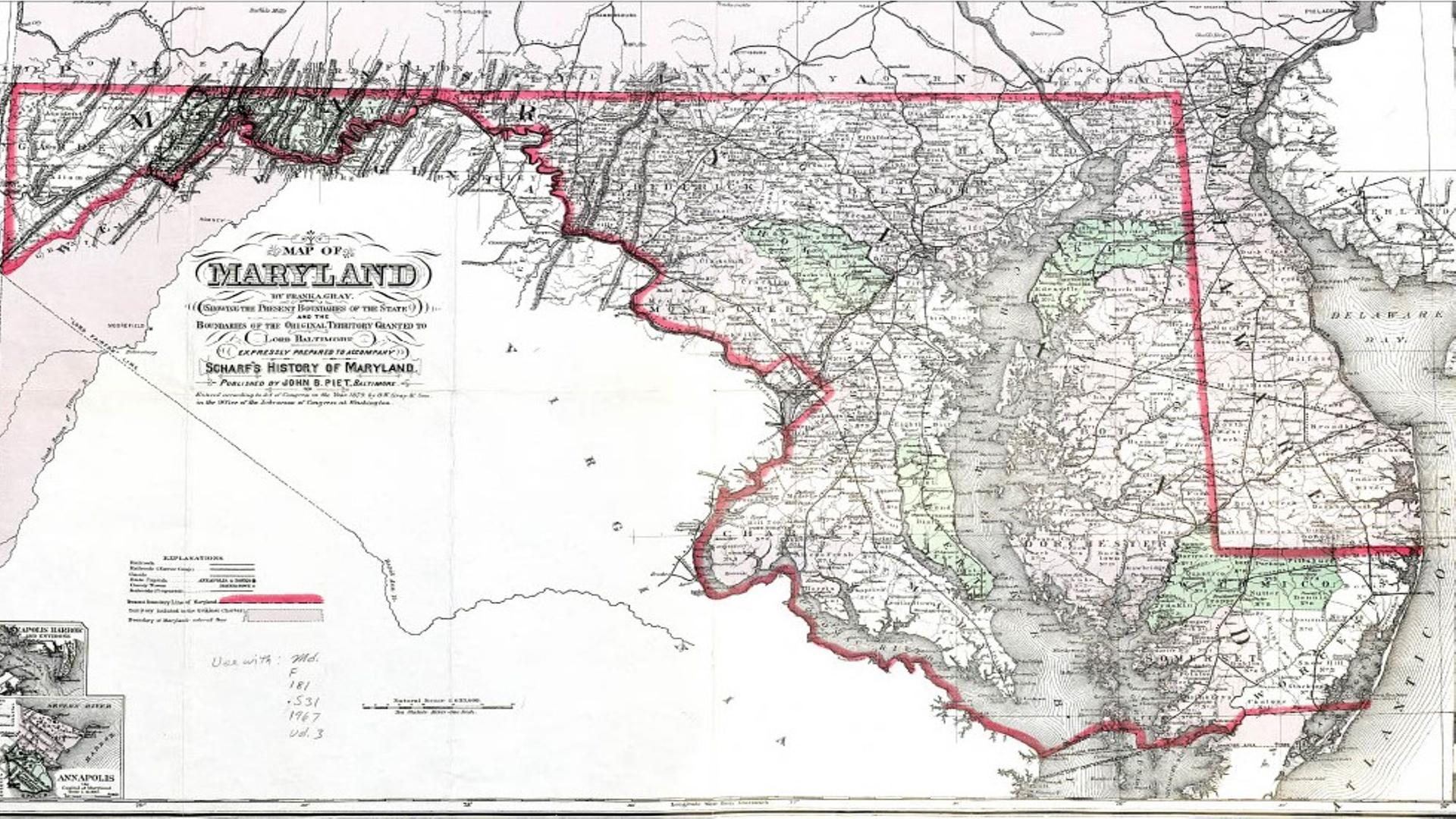
The Maryland Map collection is a comprehensive collection of more than 2,500 maps depicting Maryland, the Chesapeake Bay, and the surrounding region from 1590 to the present. The collection contains many rare early maps of Maryland as well as more modern maps produced by state and local governments. Some selected maps have been digitized and are available on this site. The rest of the map collection can be viewed in-person in the Maryland Room. For more information about this collection, visit the Guide to Maryland Maps.
Browse Maps
Browse map records by geographic area or features included.

Digitized maps
Browse maps with images available in our digital collections.

About Us
Learn about the Maryland Map collection.
- Appalachian Region (5)
- Eastern Shore (37)
- Southern Maryland (26)
- Western Maryland (11)
- Western Shore (4)
- Delaware (3)
- District of Columbia (62)
- Maryland and Delaware (62)
- Maryland and Pennsylvania (1)
- Maryland and Virginia (40)
- Maryland (186)
- Mid-Atlantic (32)
- Virginia (11)
- Allegany County (44)
- Anne Arundel County (65)
- Baltimore County (123)
- Calvert County (33)
- Caroline County (30)
- Carroll County (54)
- Cecil County (57)
- Charles County (53)
- Dorchester County (52)
- Frederick County (64)
- Garrett County (49)
- Harford County (50)
- Howard County (43)
- Kent County (34)
- Montgomery County (182)
- Prince George's County (139)
- Queen Anne's County (29)
- Somerset County (43)
- St. Mary's County (42)
- Talbot County (35)
- Washington County (49)
- Wicomico County (41)
- Worcester County (50)
- Annapolis (19)
- Baltimore City (233)
- Bel Air (9)
- Bethesda (26)
- Betterton (1)
- Bladensburg (6)
- Bowie (10)
- Brandywine (2)
- Brunswick (1)
- Bryans Road (1)
- Cabin John (2)
- Cambridge (1)
- Catoctin Mountains (1)
- Chesapeake Bay (6)
- Chestertown (3)
- Cheverly (1)
- Chevy Chase (3)
- Clarksburg (1)
- Colesville (7)
- College Park (16)
- Columbia (3)
- Cumberland (6)
- Decatur Heights (1)
- Delmar (3)
- District Heights (1)
- Dundalk (2)
- Easton (1)
- Elkton (2)
- Essex (1)
- Forest Heights (1)
- Frederick (5)
- Frostburg (2)
- Gaithersburg (9)
- Germantown (9)
- Glen Burnie (2)
- Glenarden (2)
- Glenn Dale (2)
- Greenbelt (3)
- Hagerstown (10)
- Harbour Towne (1)
- Harper's Ferry (1)
- Havre de Grace (2)
- Hillandale (1)
- Hyattsville (5)
- Kensington (11)
- La Plata (2)
- Landover (4)
- Langley Park (4)
- Largo (4)
- Laurel (13)
- Middle River (1)
- Ocean City (1)
- Olney (4)
- Piscataway Park (1)
- Poolesville (1)
- Potomac (5)
- Reisterstown (3)
- Riverdale (4)
- Rockville (12)
- Salisbury (9)
- Sandy Spring (1)
- Silver Spring (15)
- Suitland (3)
- Takoma Park (10)
- Taneytown (1)
- Towson (9)
- Upper Marlboro (5)
- Westminster (5)
- Wheaton (12)
- Anacostia River (5)
- Chesapeake Bay (76)
- Patuxent River (8)
- Potomac River (19)
- Severn River (1)
- France (1)
- Liberia (1)
- United States (8)